
Photo: Pseudopanax at English Wikipedia · CC BY 3.0 via Wikimedia Commons
Rob Roy Track
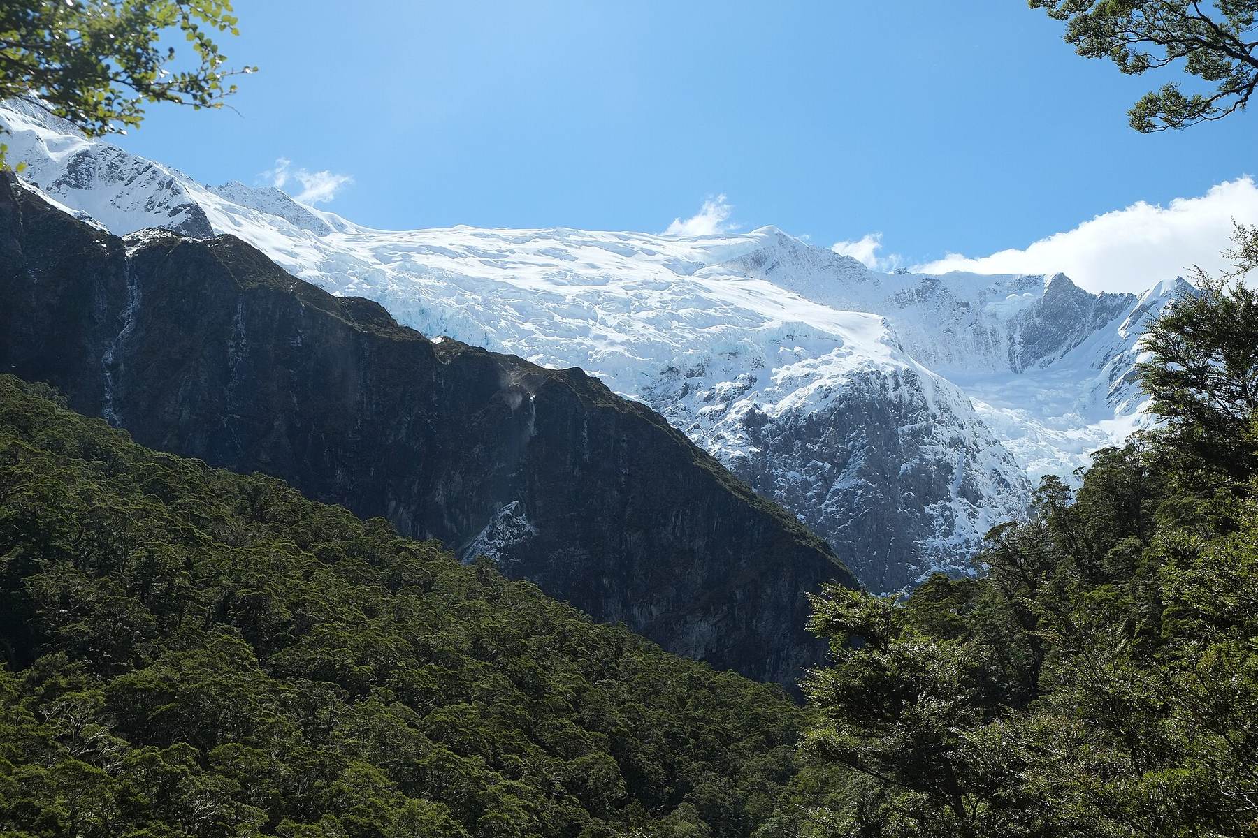
A valley walk into Mount Aspiring National Park that ends beneath a hanging glacier, waterfalls and sheer rock walls.
The track starts at the Raspberry Creek road end, crosses the West Matukituki River by swing bridge, then climbs through beech forest and into alpine vegetation at the head of the valley. The payoff is a dramatic alpine amphitheatre of snowfields, glaciers and waterfalls. The drive in is part of the day, with the last 30 km on gravel and several creeks to ford.
Highlights
- Swing bridge over the West Matukituki River
- Beech forest giving way to alpine vegetation
- Views of the Rob Roy Glacier, snowfields and waterfalls
- A scenic drive up the Matukituki Valley to the road end
Good to know
- Location
- Rob Roy Valley, Mount Aspiring National Park
- Start point
- Raspberry Creek car park, at the end of the Wanaka-Mount Aspiring Road
- Distance from Wānaka
- 54 km west of Wanaka on the Wanaka-Mount Aspiring Road
- Drive time
- about 1 hour 20 minutes
- Duration
- 4-5 hours return to the bush line / glacier viewpoint
- Track length
- 10 km
- Grade
- Well formed track, moderate - good fitness levels required
- Season
- The track crosses active avalanche paths between the lower lookout and upper lookout. Avalanches are most common from May to November, and DOC strongly recommends not going past the lower lookout in that period.
- Family-friendly
- No
The last 10 km of road has several creeks to drive through. They rise in heavy rain and can become impassable to 2WD and sometimes 4WD vehicles, and the road is prone to washouts that can close it for repairs. Check conditions before setting out.
Visiting from Sundale
Raspberry Creek is at the end of the Wānaka to Mount Aspiring Road, the same road the park sits on, 54 km west and about an hour and twenty minutes of driving. Leave after an early breakfast rather than late morning, because the last 30 km is gravel and the drive is genuinely part of the day.
The final 10 km has several creeks you drive through. They rise in heavy rain and can become impassable to two wheel drives and sometimes to four wheel drives, and the road is prone to washouts. Check conditions before you set out and keep a back-up plan for the day if the fords are running high.
Allow four to five hours on the 10 km track itself, plus the drive each way. Make up lunch in the communal kitchen before you go and take warm layers for the alpine end of the valley. Check-out is by 10am, so this one belongs on a day you are staying on rather than a departure day.
Stay nearby
Questions
How long does the Rob Roy track take?
Four to five hours return over 10 km to the bush line and glacier viewpoint, on a well formed but moderate track. Add about an hour and twenty minutes of driving each way.
Can I get there in a two wheel drive car?
Usually, but the last 30 km is gravel with several creek fords in the final 10 km. After heavy rain those fords can stop two wheel drives and sometimes four wheel drives, so check conditions first.
Is it safe to walk in winter?
The track crosses active avalanche paths between the lower and upper lookouts. Avalanches are most common from May to November, and DOC strongly recommends not going past the lower lookout in that period.
Sources
- Raspberry Creek car park 54 km west of Wanaka, drive about 1 hour 20 minutes, last 30 km gravel, creek fords in last 10 km, avalanche paths May to November, swing bridge, glaciers and waterfalls — source
- 10 km, 4-5 hours return to the bush line / glacier viewpoint, well formed track, moderate, good fitness required, 1 hour drive from Wānaka to Raspberry Creek — source
Nearby
More things to do.
Blue Pools Track
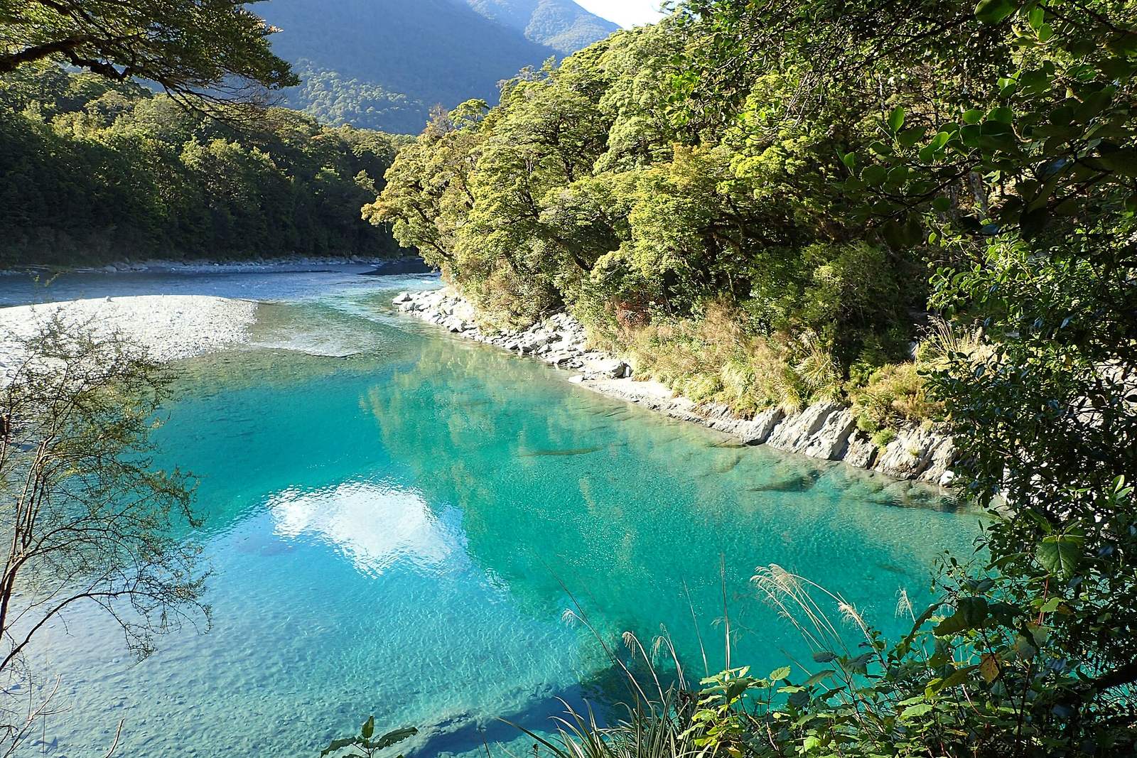
An easy forest walk over two swing bridges to river pools that run an extraordinary blue.
30 minutes one wayEasy walking track
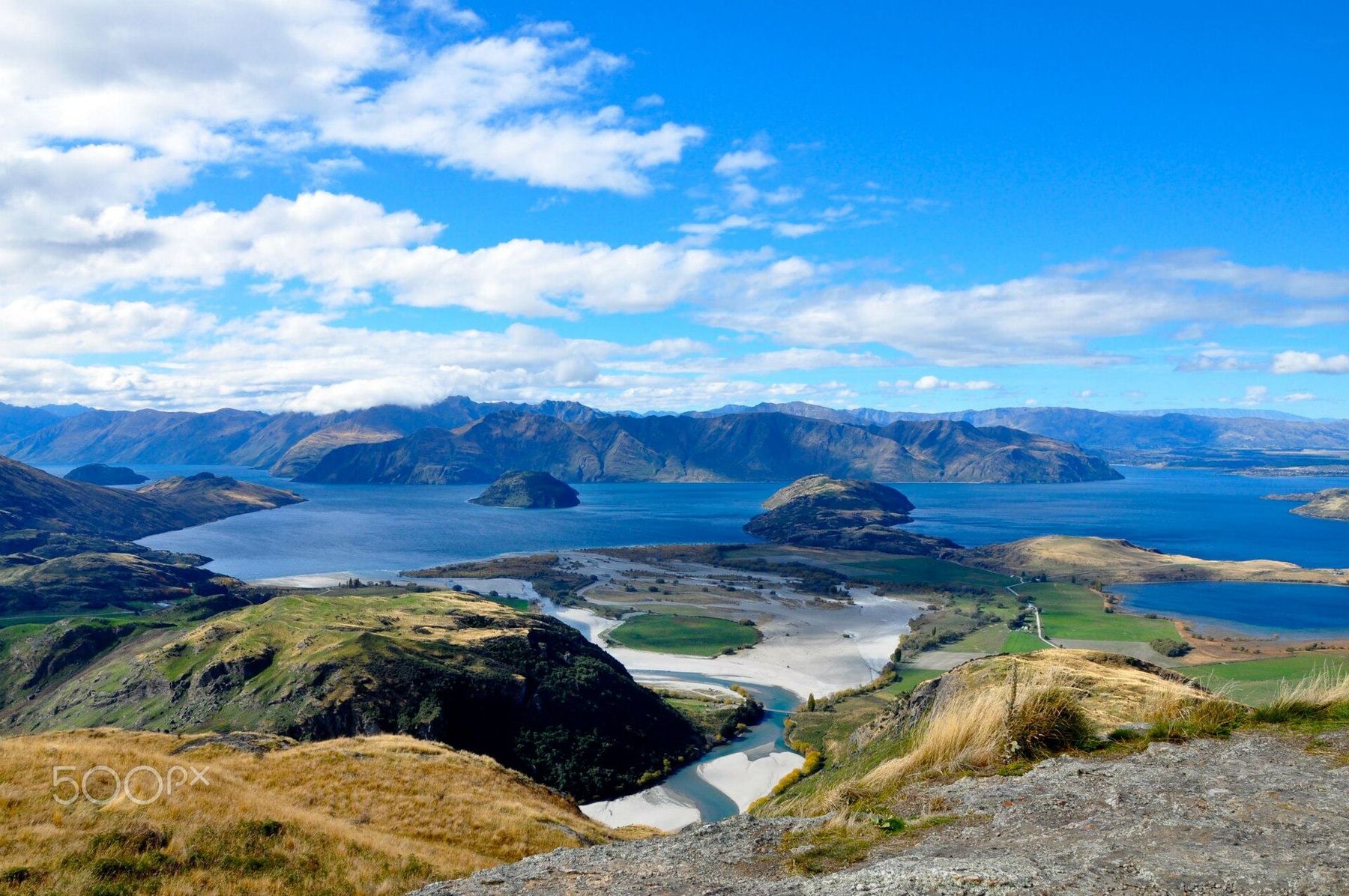
Diamond Lake and Rocky Mountain
A stack of walks off one car park, from a 45 minute lake circuit up to a 775 metre summit above Glendhu Bay.
Diamond Lake Circuit Track return: 45 min. Diamond Lake lookout return: 1 hr. Lake Wānaka lookout return: 2 hr. Rocky Mountain Summit Track return: 3 hr.Sections of this track are steep, with significant fall hazard, and the track is often slippery even in summer
Eely Point Walk
A 20 minute lakeshore walk from Wānaka town to a sheltered picnic and boating spot.
20 min
Your Wānaka basecamp
Make Sundale your base.
Cabins, studios, motels and soft-grass camping, five minutes from the water and close to everything above.